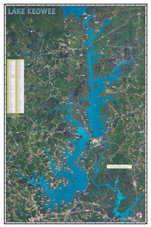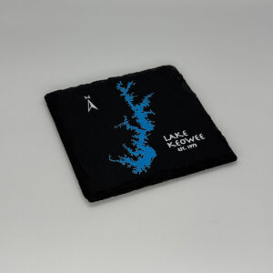
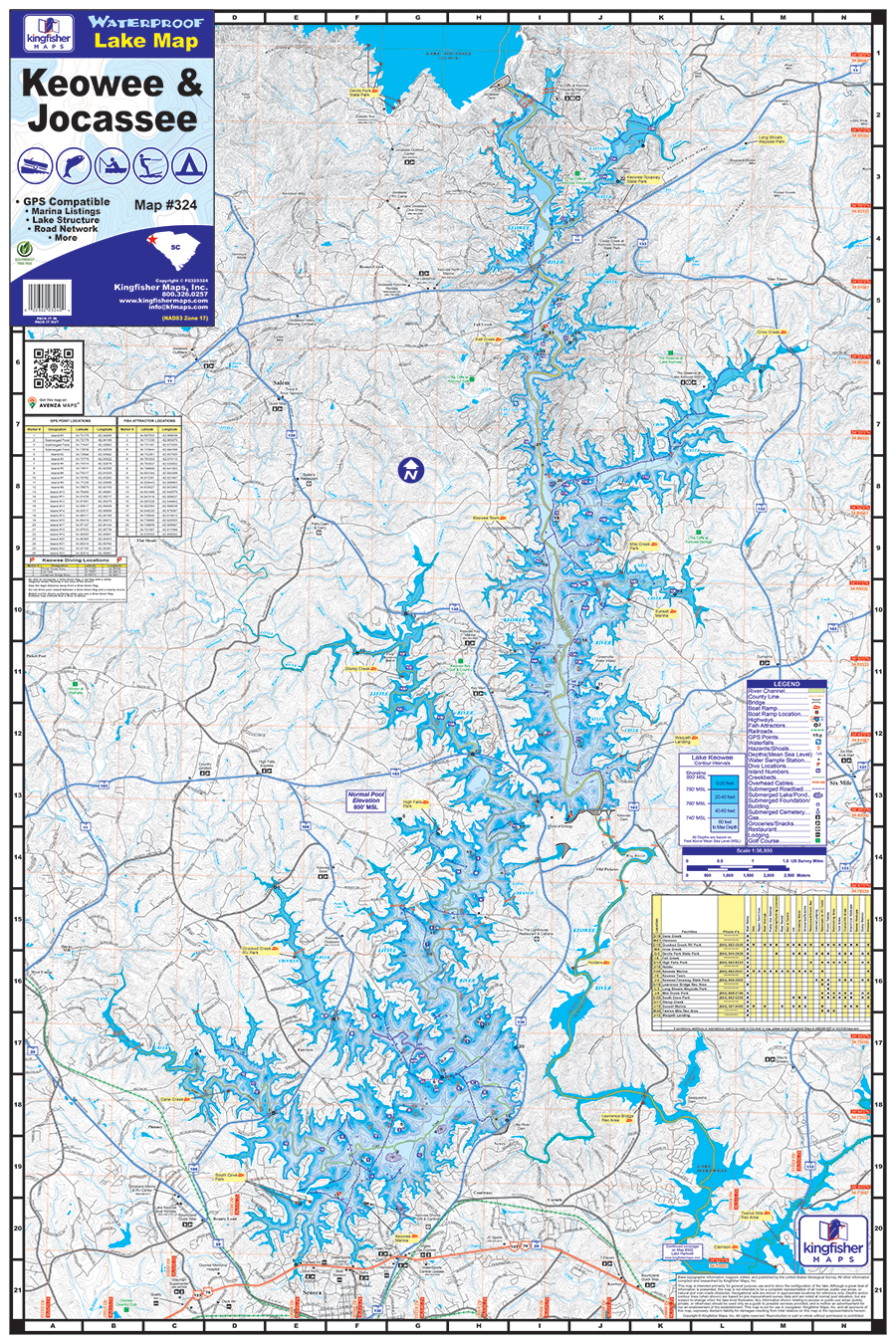
Lakes Keowee & Jocassee Waterproof Map #324
Price range: $13.99 through $34.99

Lakes Keowee & Jocassee Waterproof Map #324
Price range: $13.99 through $34.99
Kingfisher Maps Waterproof Map Lakes Keowee & Jocassee:
- Waterproof Topographical Map
- 24″ x 36″, Fold to 6″ x 9″
- 20ft Contour Intervals
- Boat Ramps, Marinas & Campgrounds
- Fish Attractors
- Local Points of Interest
- Full Color
The Kingfisher Maps Waterproof Lake Map Keowee & Jocassee includes detailed coverage of both Lakes Keowee & Jocassee located in the upstate of South Carolina. This 24″ x 36″, two-sided, topographical fishing and boating map includes marinas, campgrounds, recreation areas, boat ramps, contour intervals, river channel, creek channels, submerged roadbeds, buoys, fish attractor locations, & more. The map is printed on a durable, waterproof, tear-resistant paper and folds down to 6″ x 9″.
Additional information
| Weight | 5 oz |
|---|---|
| Dimensions | 10 × 7 × .125 in |