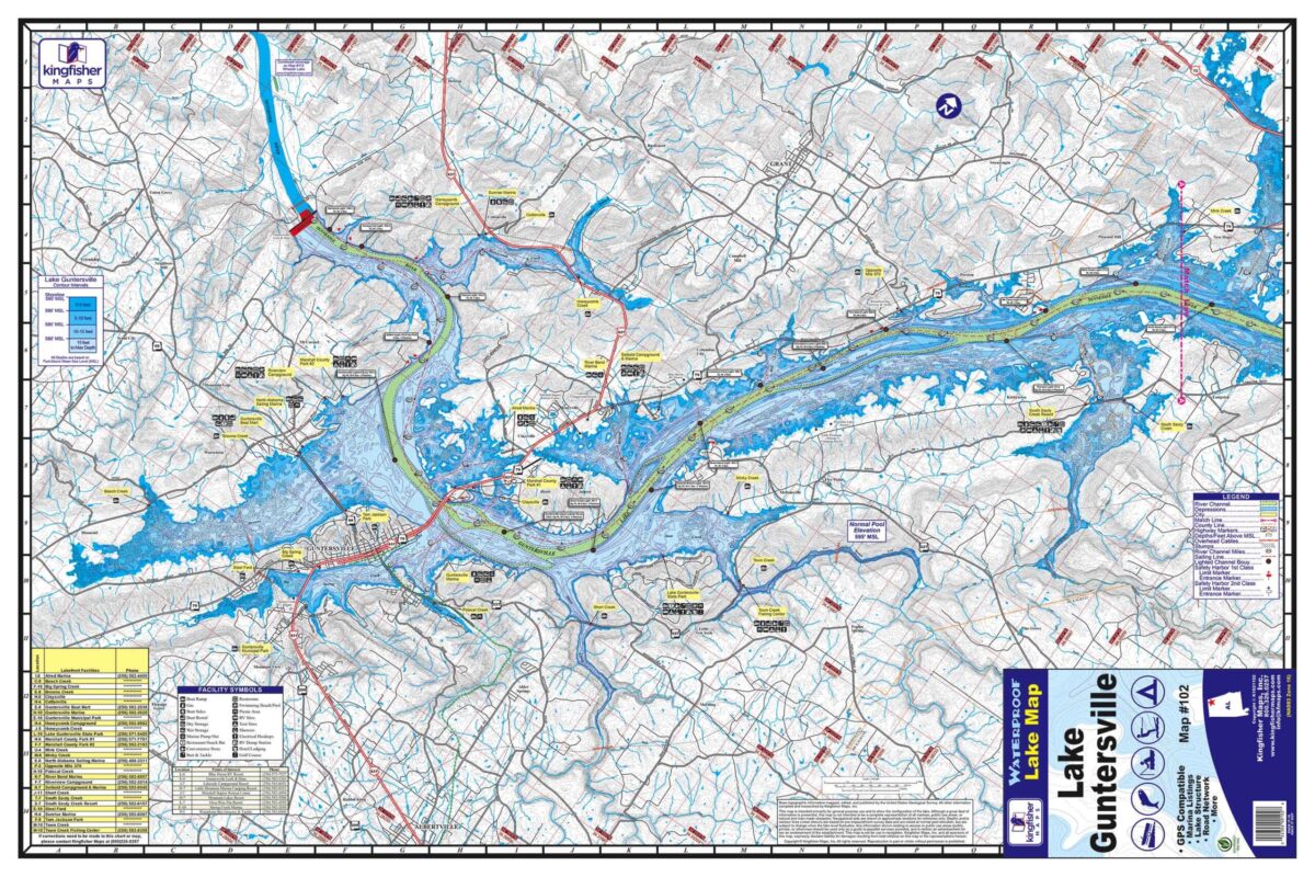
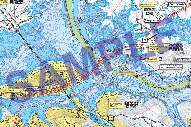
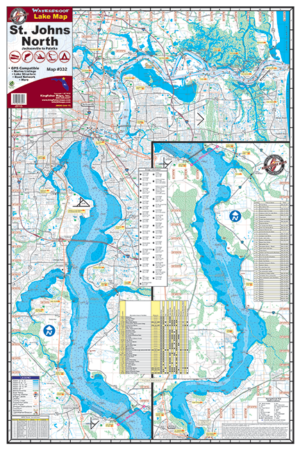
The Kingfisher Maps Waterproof Fishing Map Lake Guntersville includes full coverage of Lake Guntersville (aka Guntersville Lake) located between the cities of Bridgeport and Guntersville in Northern Alabama on the Tennessee River. This 24″ x 36″, two-sided, topographical lake map shows marina listings, campgrounds, boat ramps, 5-foot contour intervals, river channels, creek beds, buoys, and more. The map is printed on a durable, waterproof, tear-resistant paper and folds down to 6″ x 9″.
