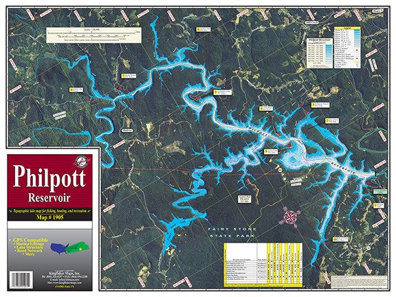
1:24,000 One-Sided, 18″x24″ full color aerial map of Philpott Lake, VA. Includes lake structure, river channel, creekbeds, submerged roads, railroads and buildings. Recreation Area locations and more!
Additional information
| Folded or Flat | Flat/Unfolded, Folded |
|---|---|
| Laminated | Laminated, Not Laminated |


