Pickwick Lake Waterproof Map #110
$13.99 – $34.99


Pickwick Lake Waterproof Map #110
$13.99 – $34.99
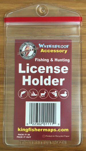
Kingfisher Maps Waterproof Lake Map Pickwick Lake:
-
Waterproof & Tear-Resistant Lake Map
-
Detailed Depth Information
-
Boat Ramps, Campgrounds, & Marinas
-
Local Points of Interest
-
Full Color
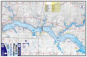
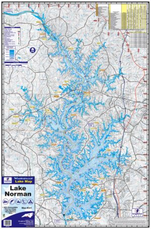
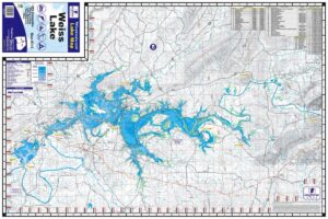
The Kingfisher Maps Waterproof Lake Map Pickwick Lake shows full coverage of Pickwick Lake. The lake is located in Northwestern Alabama, Southwestern Tennessee, and the Northeastern tip of Mississippi along the Tennessee River. This 24″ x 36″, one-sided, topographical fishing and boating map includes marinas, campgrounds, boat ramps, contour intervals, river channel, buoys and more. The map is printed on a durable, waterproof, tear-resistant paper and folds down to 6″ x 9″.
Additional information
| Weight | N/A |
|---|