Lake Watauga Waterproof Map #1724

$13.99$34.99

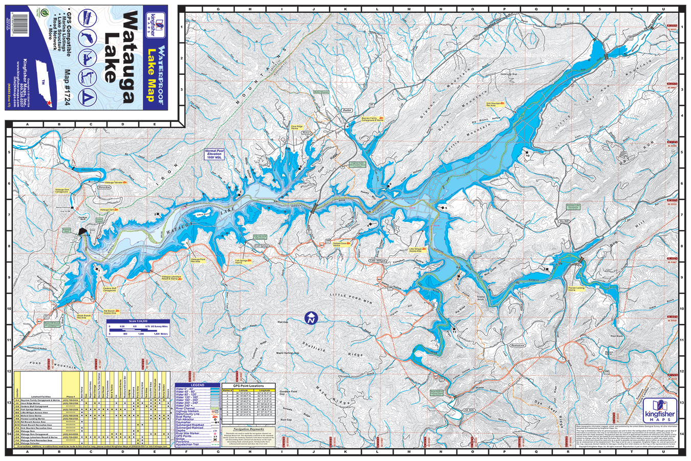
Lake Watauga Waterproof Map #1724

$13.99$34.99

24″x36″ One-sided. Waterproof and Tear Resistant!
GPS Compatible, Mairina Listings, Lake Structure, Road Network and More.

SKU: 1724 Categories: ,

Lake Watauga 24″x36″ One-sided. Waterproof and Tear Resistant! GPS Compatible, Mairina Listings, Lake Structure, Road Network and More. Watuaga (Native American word for ‘beautiful waters’) Lake is located east of Elizabethton and southwest of Mountain City.Watuaga lake borders the Cherokee National Forest at the southwestern end of Johnson County and flanked by the Appalachian Mountains. The lake is 19 miles long with 106 miles of shoreline. Roan Creek and Watauga River feed into the lake. At 1960 feet above sea level Watauga Lake is the highest lake in the Tennessee Valley Authority system. Watauga Lake is the third cleanest lake in America. Thirteen species of game fish including rainbow and brown trout, walleye, and smallmouth and largemouth bass inhabit the waters of the lake.