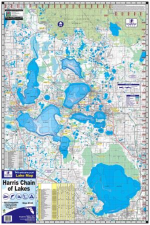
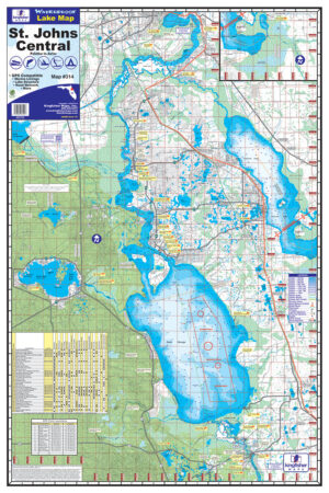
Lake Cumberland, KY, One-sided, 24″x36″. Waterproof and Tear Resistant! GPS Compatible, Marina Listings, Lake Structure, Road Network and More. Visitors of Lake Cumberland have many recreational opportunities available, including fishing, boating, hunting, and camping to name a few. Lake Cumberland, located in south central Kentucky, near Somerset, was authorized by the Flood Control Act of 1946. Construction of the project, under the supervision of the Corps of Engineers, began in August 1941 and was completed. in 1952 after a three year delay due to World War II. Normal summer elevation of Lake Cumberland is 723 feet above mean sea level. At this level, the shoreline is 1,255 miles in length and the lake comprises some 50,250 surface acres.
Additional information
| Weight | 6 oz |
|---|---|
| Dimensions | 11 × 7 × .1 in |


