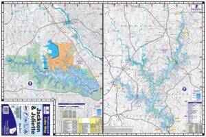
Yatesville Lake Waterproof Map #820
Price range: $13.99 through $34.99


Yatesville Lake Waterproof Map #820
Price range: $13.99 through $34.99
- Waterproof and Tear Resistant
- 24″x 36″ One-sided Map
- 20ft Contour Intervals
- Scale 1:20,000
- Full Color
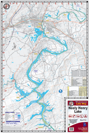
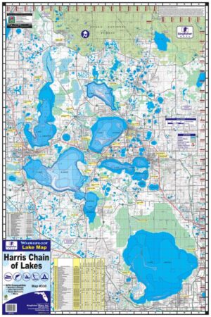
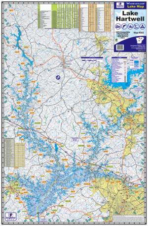
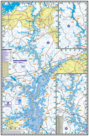
Yatesville Lake, KY, One-sided, 24″x36″. Waterproof and Tear Resistant! GPS Compatible, Marina Listings, Lake Structure, Road Network and More.
Additional information
| Weight | 6 oz |
|---|---|
| Dimensions | 11 × 7 × .1 in |