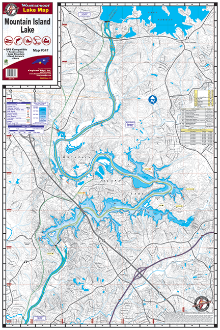
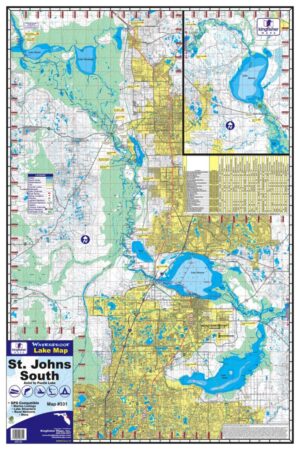
Mountain Island Lake 24″x 36″ One-sided. Scale 1:18,000 Waterproof and Tear Resistant! GPS Compatible, Marina Listings, Lake Structure, Road Network and More.
Fed by the Catawba River, Mountain Island Lake is the smallest of the three lakes that border Mecklenburg County, NC (Lake Norman & Lake Wylie). The lake is managed by Duke Energy. The primary function of Mountain Island Lake is to provide drinking water for over 1 million residents of Charlotte and surrounding area.
