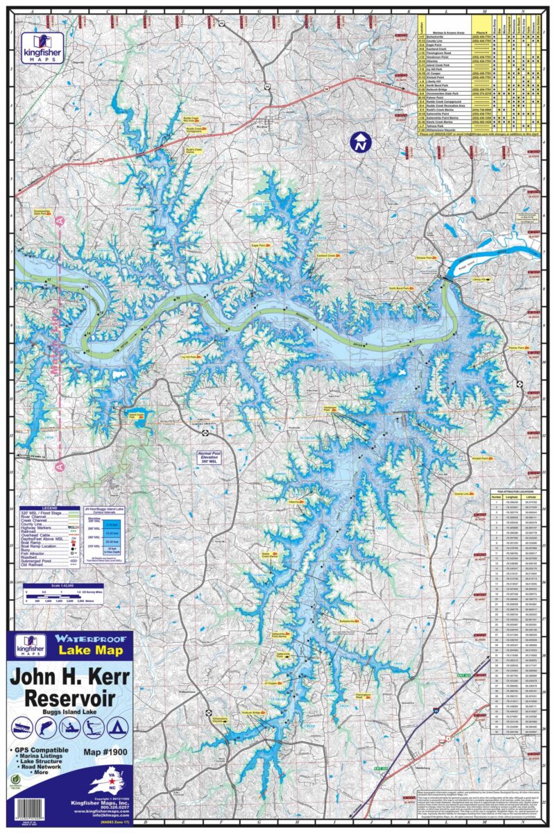
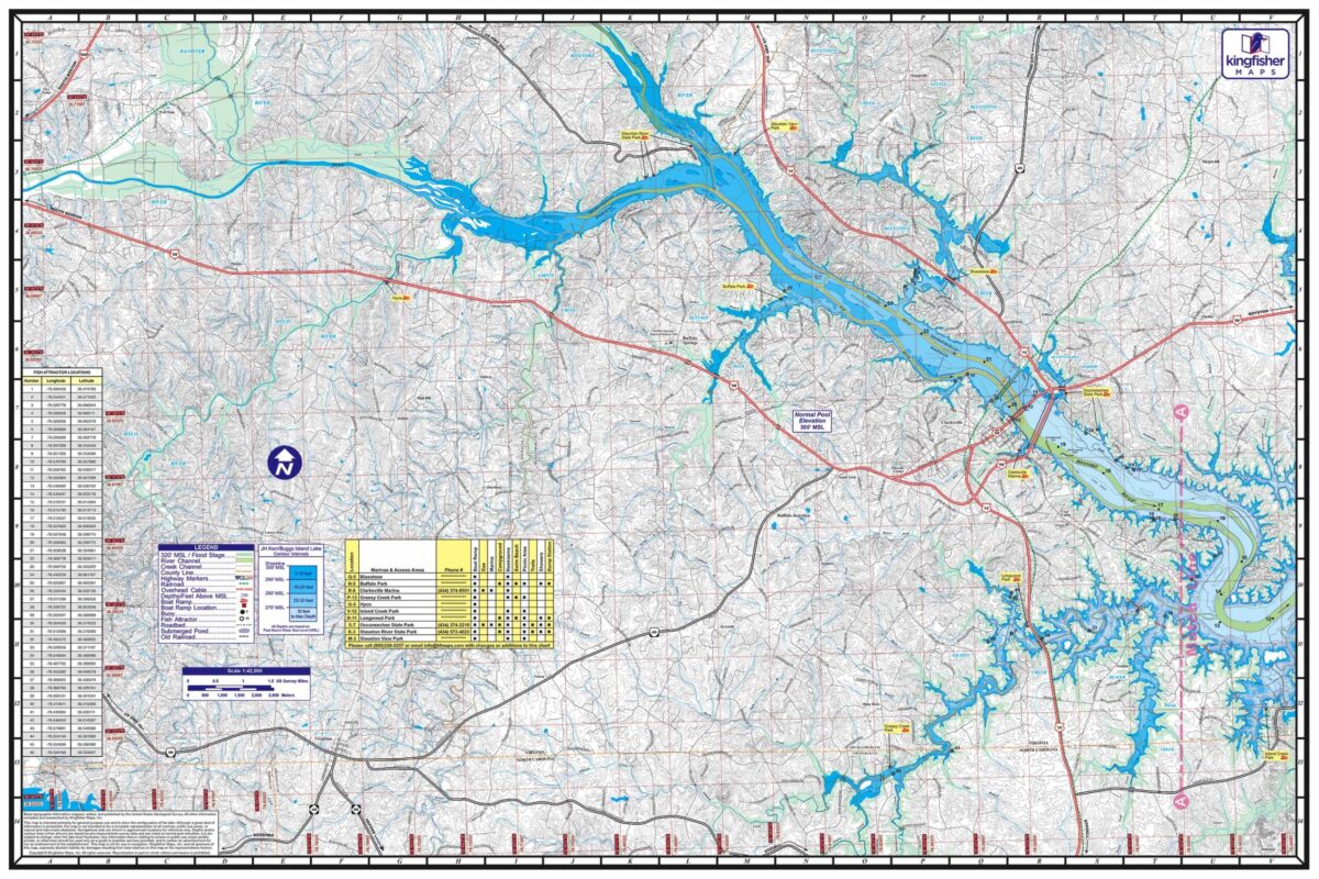
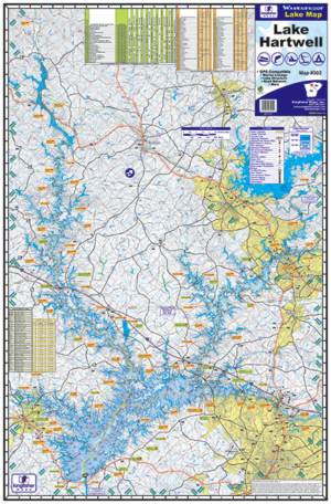
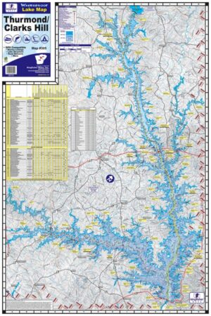
John H. Kerr/Buggs Island Lake 24″ x 36″ Two-sided. Scale 1:42,000. Waterproof and Tear Resistant! Marina Listings, Lake Structure, Fish Attractors w/ GPS Locations, Buoys, Road Network and more.
JH Kerr Reservoir (aka Buggs Island Lake) is a 50,000 acre reservoir that was constructed in the 1950’s, primarily to provide for flood control and hydropower generation. The 900 miles of wooded shoreline stretch across three counties in Virginia and three in North Carolina.
