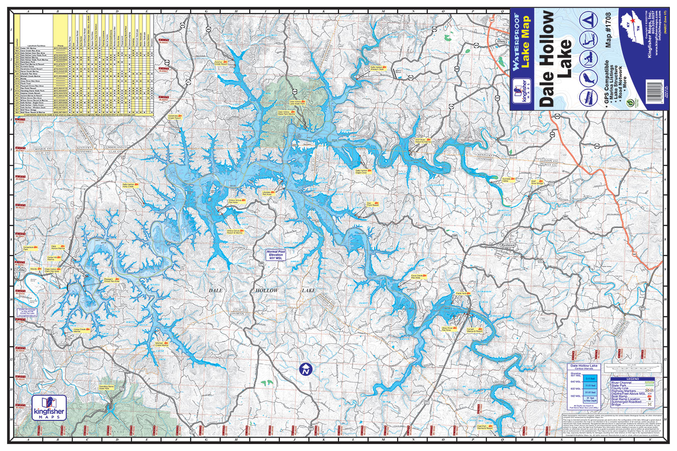
The Kingfisher Maps Waterproof Lake Map Dale Hollow Lake includes detailed coverage of Dale Hollow Lake located along the border of Kentucky and Tennessee. This 24″ x 36″, one-sided, topographical fishing and boating map includes marinas, campgrounds, recreation areas, boat ramps, contour intervals, river channel, creek channels, and more. The map is printed on a durable, waterproof, tear-resistant paper and folds down to 6″ x 9″.
Additional information
| Weight | N/A |
|---|


