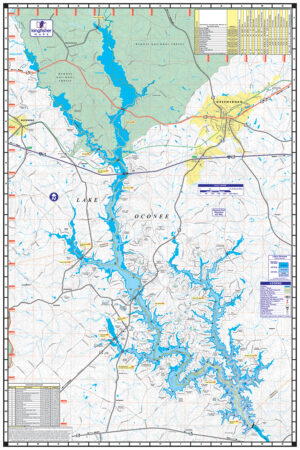
Lake Oconee Waterproof Map #317
Price range: $13.99 through $34.99


Lake Oconee Waterproof Map #317
Price range: $13.99 through $34.99
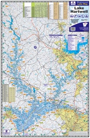
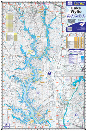
- Waterproof & Tear Resistant Lake Map
- 24″ x 36″, Folds to 6″ x 9″
- Detailed Depth Information
- Boat Ramps, Campgrounds & Marinas
- GPS Point Locations
- Fish Attractors
- Local Points of Interest
- Full Color
The Kingfisher Maps Lake Oconee Waterproof Map #317 includes full coverage of Lake Oconee located on the Oconee River in the state of Georgia. This 24″ x 36″, one-sided, topographical fishing and boating map shows marinas, campgrounds, boat ramps, contour intervals, river channels, creek beds and more. The map is printed on a durable, waterproof, tear-resistant paper and folds down to 6″ x 9″.