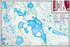
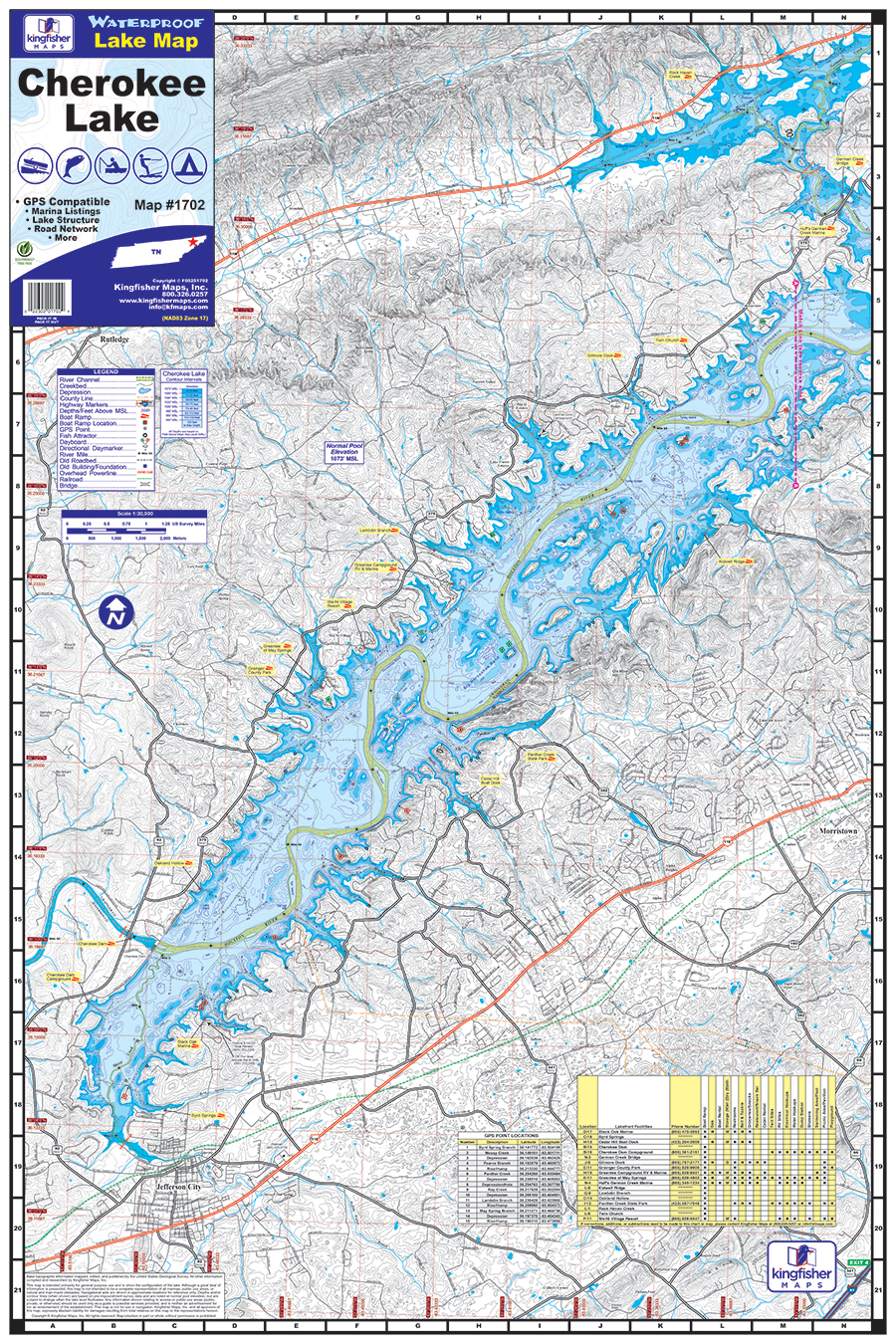
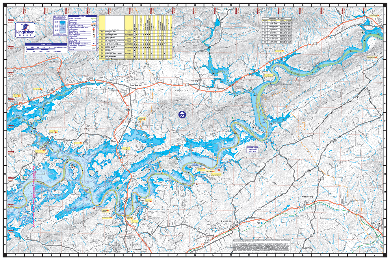
Cherokee Lake Waterproof Map #1702
Price range: $13.99 through $34.99
Cherokee Lake Waterproof Map #1702
Price range: $13.99 through $34.99
- Waterproof and Tear Resistant!
- Two-sided 24″x36″
- Lake Structure and Road Network
- Marinas, Boat Ramps and Facilities
- Full Color
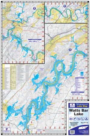
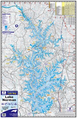
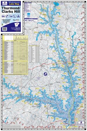
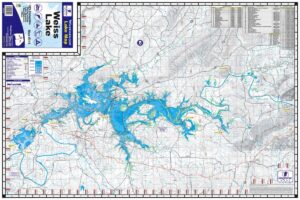
The Kingfisher Maps Cherokee Lake Waterproof Map includes detailed coverage of Cherokee Lake located on the Holston River in Eastern Tennessee. This 24″ x 36″, two-sided, topographical lake map includes marinas, campgrounds, recreation areas, boat ramps, contour intervals, river channel, creek channels, submerged roadbeds, and more. The map is printed on a durable, waterproof, tear-resistant paper and folds down to 6″ x 9″.
Additional information
| Weight | N/A |
|---|