- Please choose product options by visiting Santee Cooper Lakes Marion & Moultrie Waterproof Map #312.
Lake Okeechobee Waterproof Map #334
$13.99 – $34.99


Lake Okeechobee Waterproof Map #334
$13.99 – $34.99
Kingfisher Maps Waterproof Lake Map Lake Okeechobee:
-
Waterproof & Tear-Resistant Lake Map
-
Detailed Depth Information
-
Boat Ramps, Campgrounds, & Marinas
-
Local Points of Interest
-
Full Color
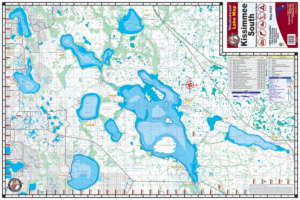
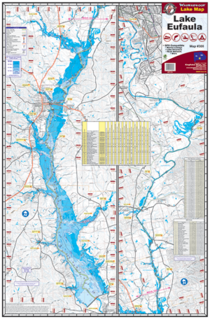
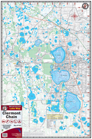
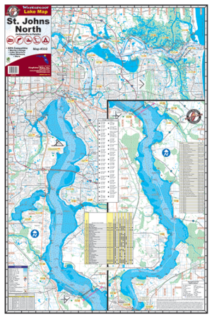
The Kingfisher Maps Waterproof Lake Map Lake Okeechobee shows full coverage of the largest freshwater lake in the United States (Okeechobee). This 25″ x 38″, one-sided, topographical fishing and boating map includes marinas, campgrounds, boat ramps, contour intervals, depth soundings, navigational channels, buoys, and more. The map is printed on a durable, waterproof, tear-resistant paper and folds down to 6.25″ x 9.5″.
Additional information
| Weight | N/A |
|---|