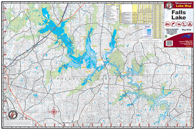
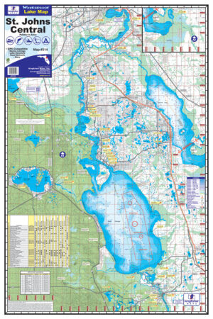
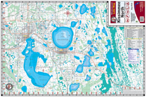
Falls Lake 24″x36″ One-sided. Scale 1:36,000 Waterproof and Tear Resistant! GPS Compatible, Mairina Listings, Lake Structure, Road Network and More. With 38,000 acres and six recreation areas, Falls Lake, North Carolina is a great place for outdoor lovers. The beautiful, crystal-clear Falls Lake is available for all water sports from parasailing to jet skiing and of course there is great fishing! Along with the water sports, there are plenty of trails for hiking, biking and other activities. One day just isn’t enough to take in everything within Falls Lake, so luckily there are also quite a few camping grounds. Falls Lake, (reservoir) just north of Raleigh-Durham is a recreation haven for the residents of the region. An extensive recreation has been developed at the south end of the lake near the dam. Maintained as part of the NC State Park system as the Falls Lake State Recreation Area, it is one of the more developed properties. Fishing for Bass, bluegill, catfish and crappie—as well as numerous artificial reefs and fish shelters, and continuous stocking programs—attract anglers to Falls Lake. N.C. Wildlife Resources Commission regulations apply.
Additional information
| Weight | N/A |
|---|
